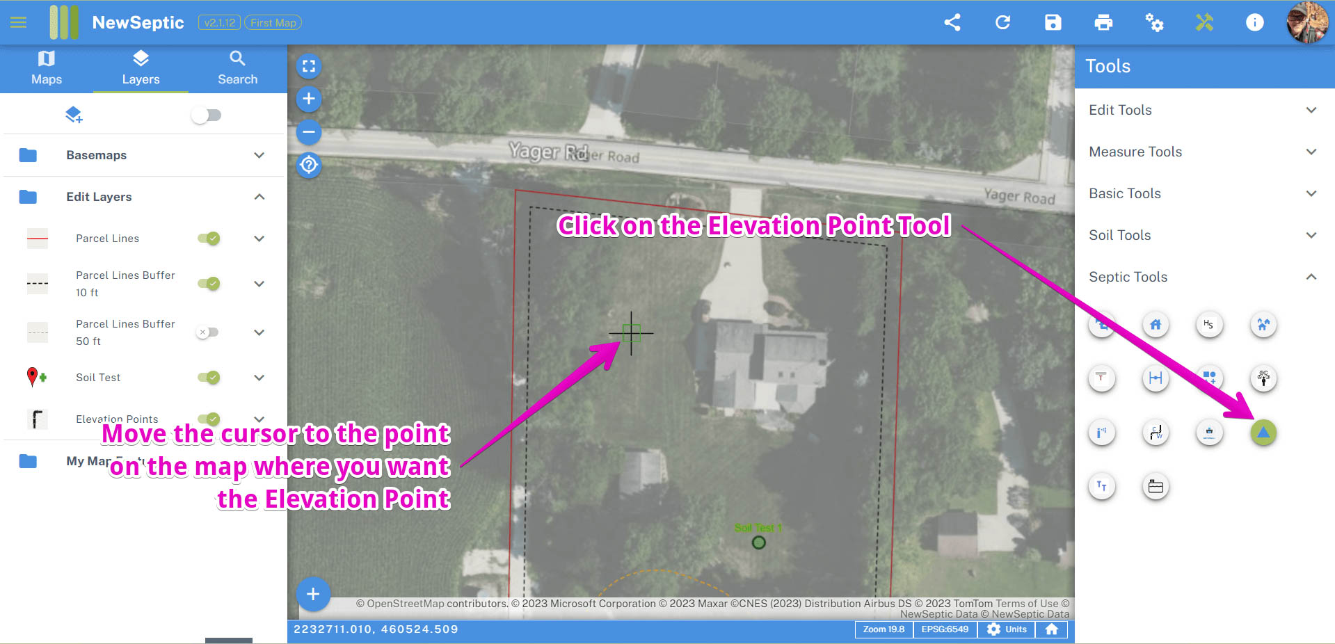
Septic Elevation Point 
The elevation point tool is for placing points on the map for detailing elevations of general components.
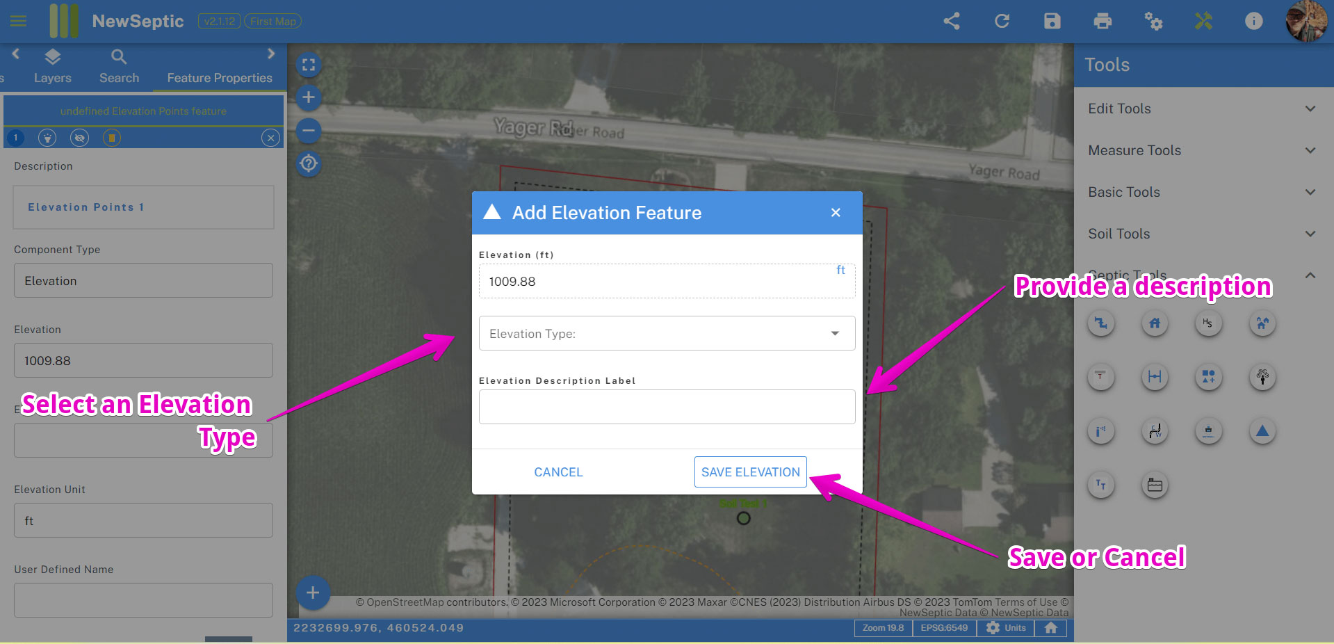
You can add a type of elevation. The most general type would be spot elevation, the other types are specific. Here are the types with a description:
| Elevation Type | Description |
|---|---|
| Benchmark | a benchmark established for construction sites and serves as an established or known elevation on a job site |
| Discharge Point | the location of any discharge of the onsite wastewater treatment system as designed |
| Pipe Invert | an elevation of a pipe invert |
| Spot Elevation | a point on the map you want to show an elevation |
To use the tool, find and click on the tool in the right panel in the Septic Toolset. Move your cursor to the location on the map you want the elevation point, and click:
The dialog window will open and generate an estimated elevation for that point on the map from our digital elevation model. You can specify a more accurate elevation, an elevation type, and description. Upon clicking save, a new point feature will be created.