Print Tools
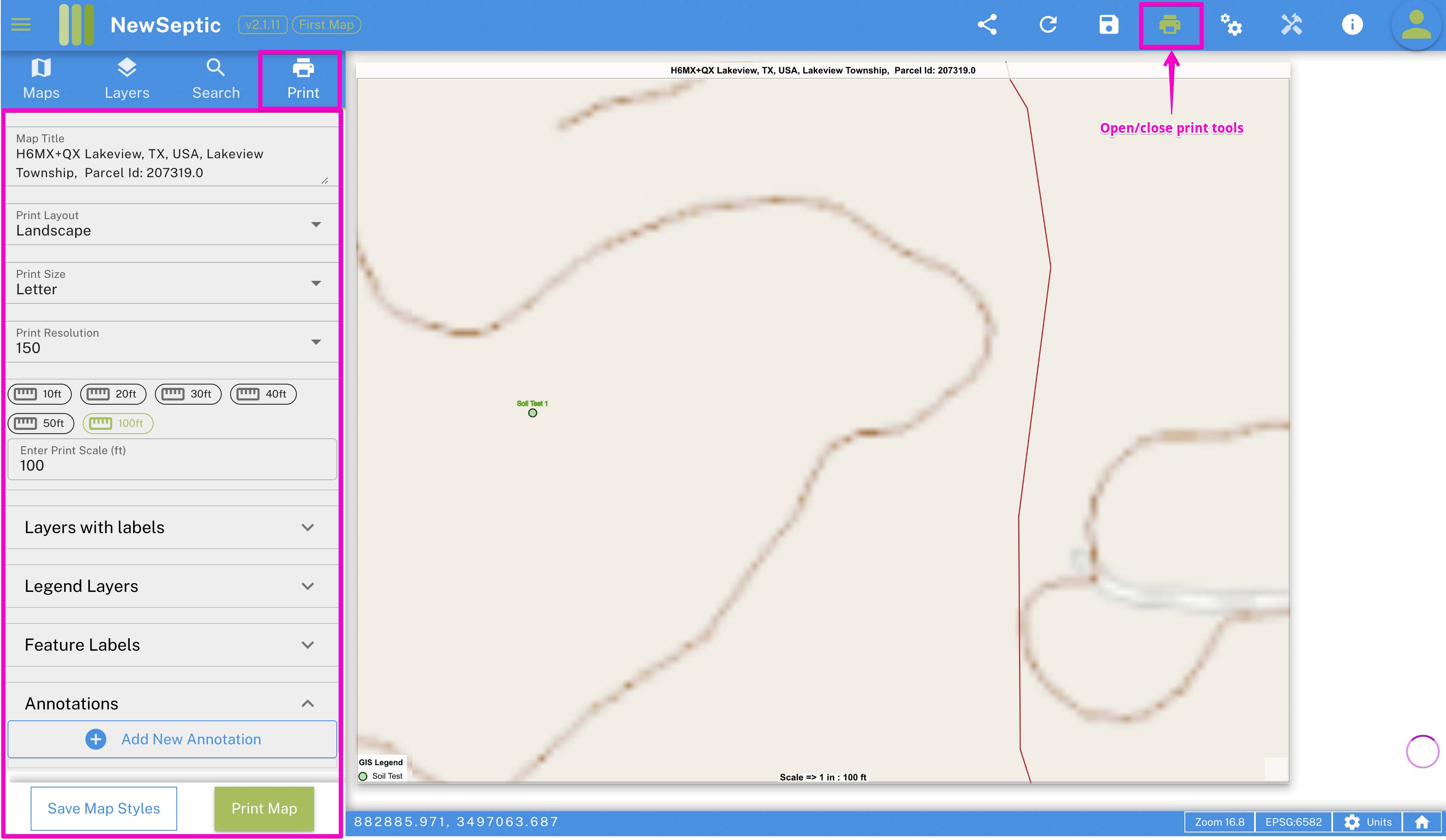
Print tools are built to help users generated a well formatted map pdf. It enables users to organize labels among other capabilities.
On the left side is the drawer tab with all the tools required to organize your map. The tools includes the following:
- Map Title - adjust the title on the map
- Print layout - you can have the map print oriented either portrait or landscape
- Print size - two options available includes letter size (8.5 x 11 inches) and tabloid (11 x 17 inches)
- Print resolution - dots per inches on the map which determines the quality of the print
- Map Scale - determine the scale at which the print is generated
- Layers with labels - you can set which layers of which the labels are shown on the map
- Annotations - allow creating and editing of notes on the map print
At the bottom of the print tools, you can decide to save the print layout configuration so as in the next sessions, the map print will be restored as it is.