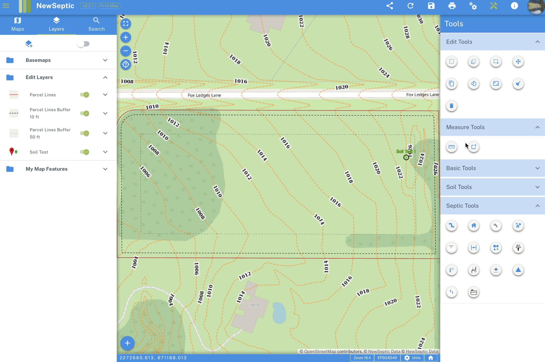
Measure Tool
Measure Length
Measure linear distances from point A to point
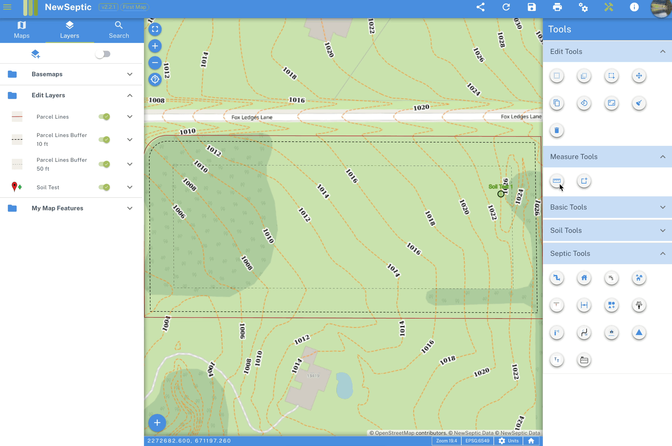
- Activate measure length tool by clicking on the measure length tool button
- With the measure length tool active, draw a line by clicking at least two points (point A and point B) on the map. A line is drawn with the length shown as the label
- A window is also opened on the left drawer showing the measurements of the line
- Once done, click on the measure length tool button again to deactivate the tool
Measure Area
Measure area of a given portion of land
- Activate measure area tool by clicking on the measure area tool button
- With the measure area tool active, draw a polygon by clicking at least three points (point A, point B and point C) on the map. A polygon is drawn with the area shown as the label
- A window is also opened on the left drawer showing the measurements of the polygon
- Once done, click on the measure area tool button again to deactivate the tool